U.S. Army Corps of Engineers courtesy photo
MANHATTAN — High water in the Tuttle Creek Lake area continues to make many roads in and around the lake impassable.
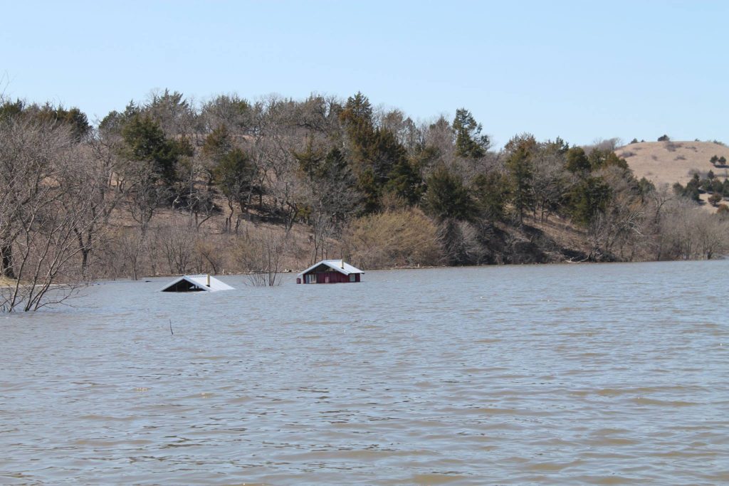
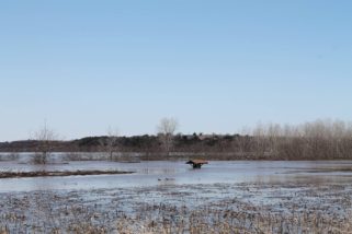
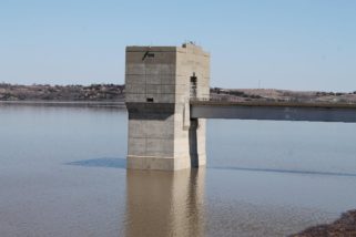
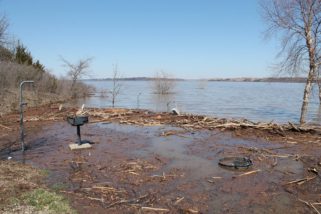
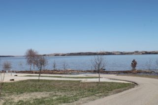
On its Facebook page Monday, the U.S. Army Corps of Engineers released photos showing flooded areas surrounding the lake with some buildings in the state recreation completely submerged. Monday morning’s readings had the lake’s elevation at 1,112.66 feet, or 37.66 feet above normal pool. Inflow was at 6400 cubic feet per second with outflow measuring 160 cubic feet per second. Several roads are closed surrounding Tuttle Creek Lake. The public is advised to be respectful of barricades and never drive into flooded areas.
The Corps says it’s waiting for water levels on the Missouri River to subside, they along with the other reservoirs will be able to safely release the water being held. Further north, Nebraska officials say recent rains in March caused nearly $1.4 billion in losses and damage.
The National Weather Service noted Fancy Creek at Randolph is currently near flood stage at 11.68 feet. Flood stage is 16 feet, meaning minor flooding occurs when it reaches that level. A flood warning continues for the Big Blue River near Blue Rapids affecting Marshall County where the stage was 38.4 feet. Flood stage is 26 feet. Minor flooding is occurring and the latest forecast has the river rising to near 39.5 feet by Friday afternoon, with additional rises possible thereafter.
Photos courtesy the U.S. Army Corps of Engineers
The post Tuttle Creek Lake continues to see high waters, flooded roads nearby appeared first on News Radio KMAN.